
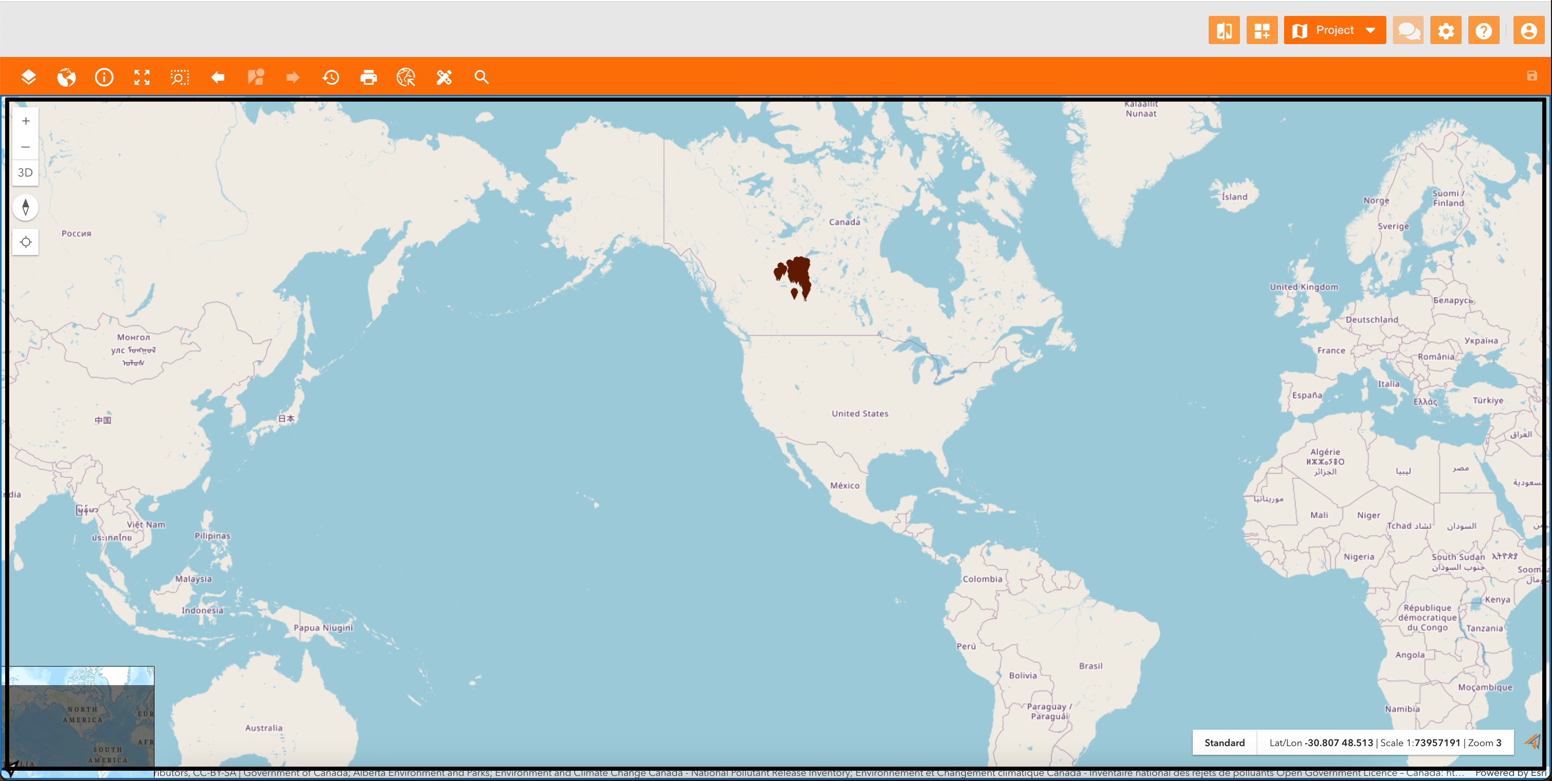
A map is the core element that visually represents geographic information.
A service makes geographic information accessible over the map, and it can be composed by more layers, that are slices of information you can add to your map.
There are several main types of GIS services, each offering different functionalities for working with geospatial data.
|
|
|
Figure 1 - Example of a map configured with a service |
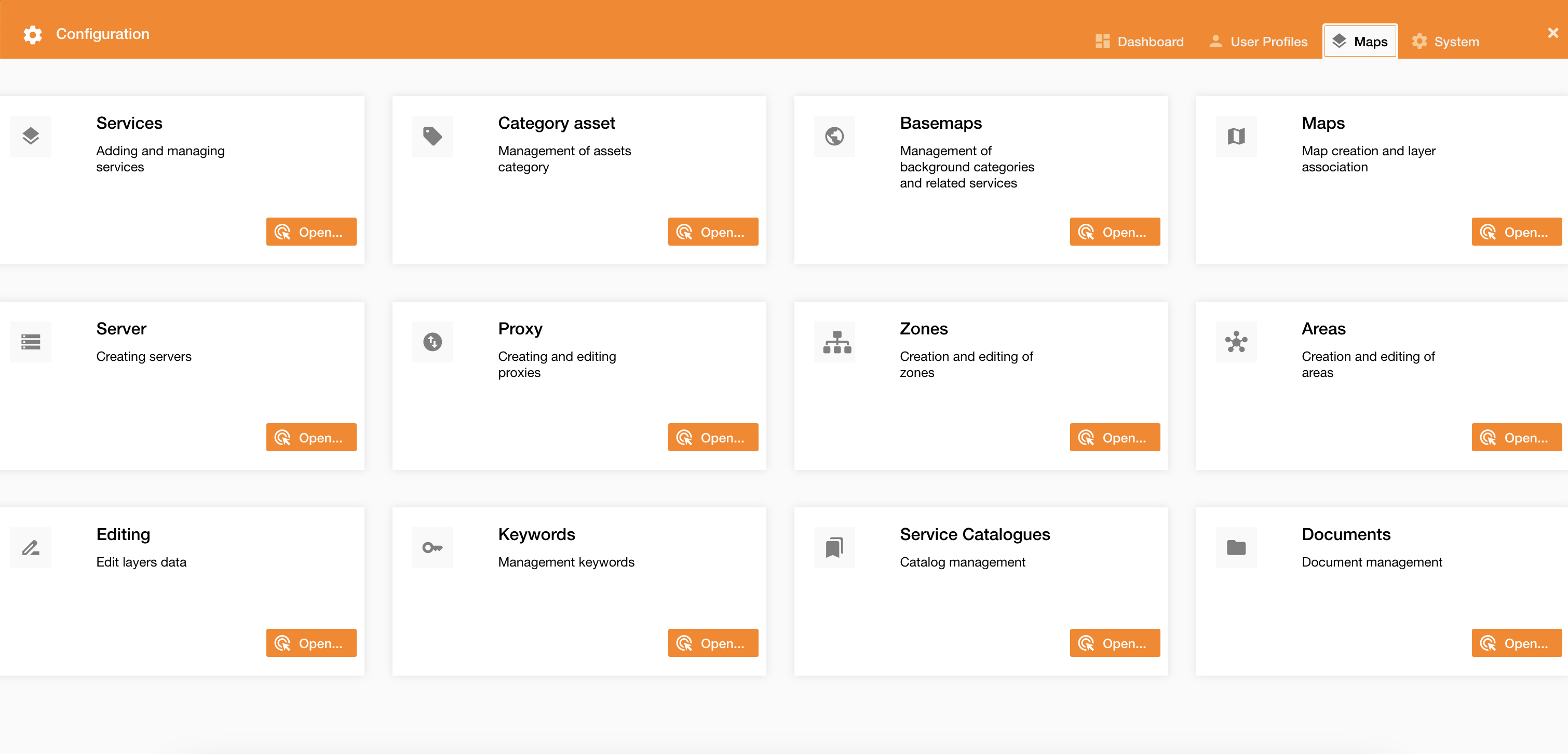
To associate a service on a map go on Control Panel > Maps tab:
|
|
|
Figure 2 - Maps tab |