
Imagine managing your field service team like a well-oiled machine, with technicians dispatched to the right place at the right time, equipped with all the information they need. This is the power of our NextGen Geo platform in field service asset management.
A GIS platform goes beyond traditional asset management software by adding a crucial element: location awareness. Here's how it transforms your operations:
-
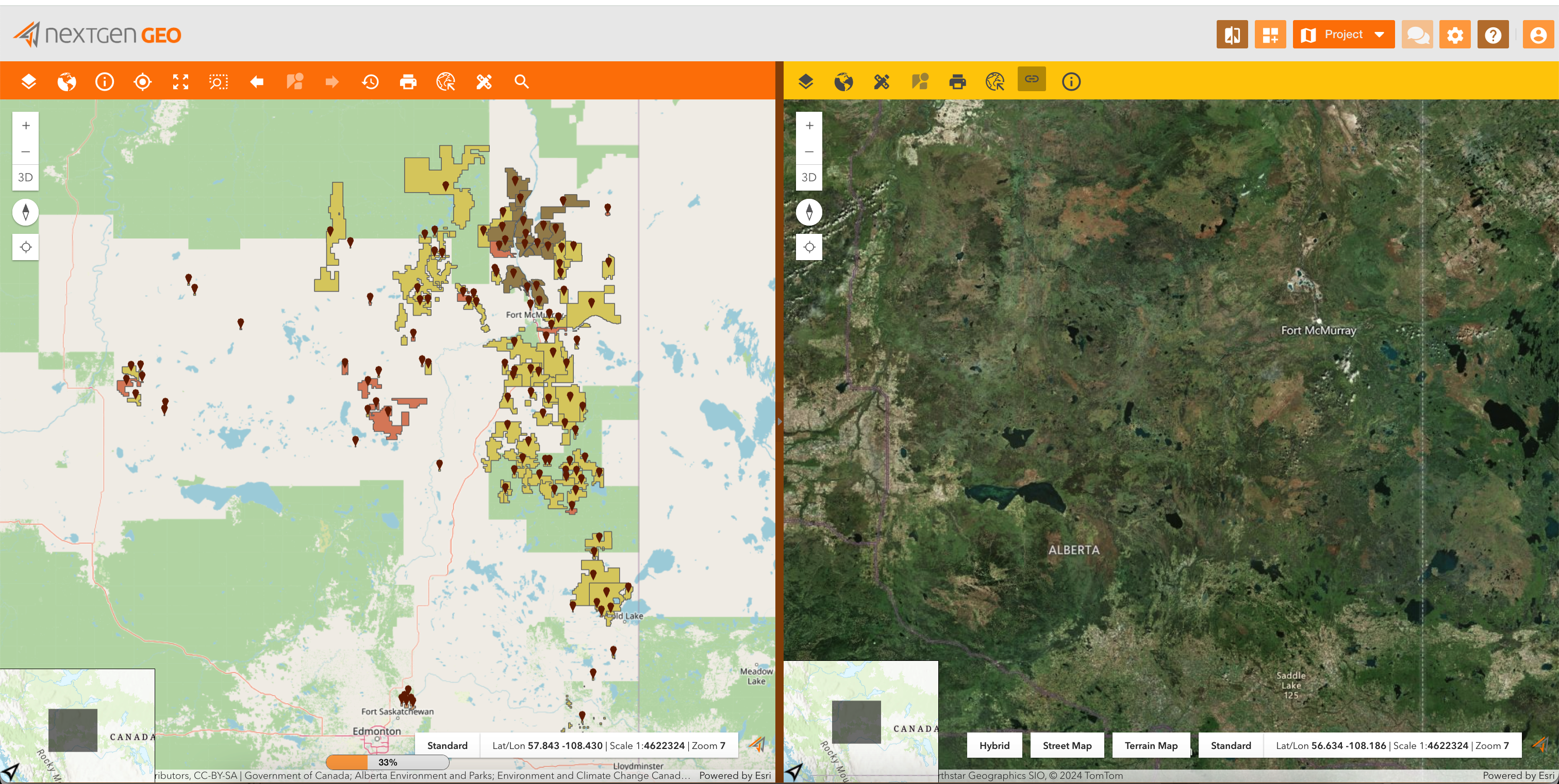
Visualize Your Assets: See all your field assets, from power lines and wind turbines to vending machines and delivery vehicles, on a real-time map. This provides a clear picture of your entire service network.
-
Data-Driven Decision Making: Analyze data on asset performance, maintenance history, and service requests to identify trends and predict potential issues. This allows for proactive maintenance and resource allocation.
-
Improved Communication and Collaboration: Share asset information and service updates with technicians, dispatchers, and customers through a centralized platform. This fosters better coordination and transparency.

Working without a GIS platform
It can be challenging depending on the nature of the work you're doing. Here's a breakdown of some potential challenges and considerations:
-
Limited Spatial Analysis: Analyses might be more time-consuming or even impossible depending on the complexity of the task.
-
Data Management: Managing spatial datasets may require manual methods or the use of other software tools that may not be as specialized for spatial data management.
-
Visualization: Visualizing spatial data may be more challenging, and you may need to rely on other software or manual methods for visualization.
-
Integration: Integrating spatial data with other systems may require more manual effort or the use of additional software tools.
-
Accessibility: Accessing and sharing spatial data may be more cumbersome.
Working with a GIS platform
It offers numerous benefits across various fields and industries. Here are some of the key advantages:
-
Spatial Analysis: providing powerful tools for spatial analysis, allowing users to perform tasks such as overlay analysis, buffering, spatial interpolation, and network analysis.
-
Data Visualization: allowing users to visualize spatial data in the form of maps, charts, and graphs.
-
Data Integration: allowing the integration of spatial data with non-spatial data from various sources, such as databases, spreadsheets, and other software systems, leading to more comprehensive analyses and insights.
-
Data Management: users can efficiently store, retrieve, and update spatial datasets, ensuring data integrity and usability over time.
-
Collaboration: supporting collaborative workflows, allowing multiple users to access, edit, and share spatial data and analyses.
-
Efficiency: By centralizing spatial data and analysis tools in a single platform, a GIS platform help streamline workflows and improve efficiency. Users can access all the necessary tools and data within the GIS environment, reducing the need to switch between multiple software applications and data sources.
-
Improve Customer Service: Respond faster to requests and provide accurate arrival time estimates.
-
Reduce Costs: Minimize travel time and fuel consumption, optimize maintenance schedules.
-
Enhance Decision Making: Gain insights from data to improve resource allocation and service quality.